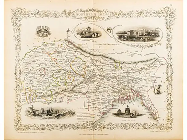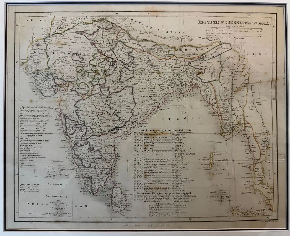
British Possessions in Asia-Copper engraving-1814
Circa 1814SGD 650
This map features the Indian subcontinent and surrounding regions. The map outlines the territorial divisions, boundaries, and major geographical features of the Indian subcontinent during the British colonial era. The Bay of Bengal, Andaman Islands, and Nicobar Islands are clearly marked, and the map highlights various states, provinces, and princely territories as they existed historically.
There is an accompanying genealogical table or index below the map, listing native states, British provinces, and their related populations and rulers, providing a comprehensive overview of the political geography of British India. The map is finely detailed, with names of cities, rivers, and boundaries, and dates from the early 19th century, as indicated by its classic cartographic style and fine print. This artifact would have been used for educational or administrative purposes to illustrate the extent of British territorial control and the organization of native states during the colonial period.
The publisher, J. Murray, was a prominent London-based publisher in the 19th century known for producing atlases, travel books, and historical documents related to British colonial possessions.
The map is professionally framed using high quality and acid free materials.
Additional unframed maps are also available in store!
Asia
Antique Map
H: 55cm W: 61 cm
H: 21 ¾” W: 24”